
Scouting from above
As summer progresses and crops grow rapidly, signs of stress begin to emerge. Issues that were invisible while planting start to reveal themselves, and once you can see the stress from the ground, yield potential may already be decreasing. Ground scouting can be especially challenging at this stage, as stress symptoms are often inconsistent and difficult to detect.
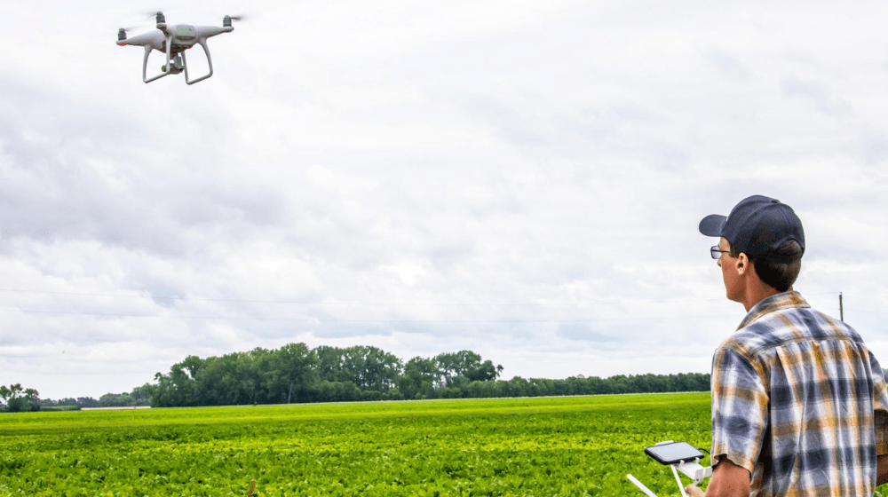
Speed and timing are critical, so innovations that can help inform decision-making are becoming increasingly valuable. Drones offer a new perspective for land management, covering more ground in less time. They quickly reveal field variability that’s easy to miss from the ground. Early detection of problems means more proactive management and more yield potential.
Turning aerial data into action
The sensor on a drone determines what type of data it can collect. These datasets can be combined to give detailed maps of the land to improve input efficiency, documentation and prioritization.
RGB sensor: RGB cameras use visible light to see visible damage such as discoloration or defoliation. This imagery closely matches what the human eye sees and is typically the most affordable option.
Thermal sensor: Thermal sensors detect heat signatures to measure canopy or soil surface temperatures. Heat maps can help detect areas with disease or water stress before symptoms are visible to the human eye.
Multispectral sensor: These capture different bands of light to produce vegetation maps which show you stress indicators that are hard for human eyes to detect. These sensors can map indicators such as chlorophyll degradation and early plant stress.
AI analysis technologies: AI platforms integrate with drones to produce visualizations of the data. They stitch images together to form high-resolution field maps, colorful vegetation indices mapping plant health among many other capabilities.
Common threats seen from the sky
Drones can help detect a range of potential yield threats, including:
Pests: When drones capture defoliation, discoloration or dead patches, they’re providing a clear sign of pest presence.
Disease: Aerial images can show where plants are affected by disease as their leaves change colors or vibrance. Temperature changes, as well as structural changes shown in LiDAR data, may signal disease presence.
Abiotic factors: It isn’t just living organisms that can steal yield potential. Non-biological stressors like drought and nutrient deficiencies are important to watch for as well. Heat maps can show where plants aren’t transpiring as well as they should be due to drought. Nutrient deficiencies might signal lower nitrogen or potassium content or chlorophyll activity.
More visibility, more action
Putting eyes in the sky offers a unique and comprehensive picture of crop health. It reduces the potential for missed issues while saving time so energy can be spent on management and action.
Drones record precise data that assists with making better, more effective decisions.
To learn more about how technology and innovative ideas can help scouting, contact your local CHS sales representative.


